News
Experience new possibilities for monitoring survey quality with Teledyne CARIS at Ocean Business
Fredericton, NB, Canada — Teledyne CARIS™ and Teledyne Optech™ are pleased to announce their joint presence at Ocean Business 19 in Southampton, UK, April 9-11th.
Visitors are invited to join experts at Stand N9 and N10 to explore the benefits of incorporating industry leading ocean mapping software and lidar surveying solutions in their operations. The newly released CARIS Onboard 2.1 will be featured, with daily live-streaming data to the booth from the Teledyne Marine vessel, Falcon Spirit. See first-hand how the new Control Centre Lite offers the ability to scale bandwidth in support of both inshore and offshore operations. Learn how automation is influencing the hydrographic industry by shortening the raw-sensor-to-deliverable timeline and experience a demo of the new machine-learning algorithm for sonar noise removal.
“The hydrographic industry is witnessing a fundamental change with the integration of elements such as advanced learning and automation,” commented Andy Hoggarth, Director of Business Development, Teledyne CARIS. “We are excited to work within a community that provides opportunity to offer enhanced automation in processing software, but also as part of the larger Teledyne group of companies, to continue to help our customers succeed in their endeavours with our end-to-end solutions.”
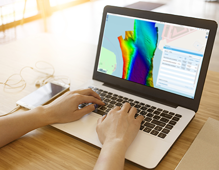
 Real-time data streaming with the flexible and scalable bandwidth offerings of CARIS Onboard 2.1
Attendees are invited to join an interactive workshop on April 9, ‘Applying Machine Learning and Automation to gain Efficiencies in Data Processing.’ Explore best practices on keeping pace with the volumes of data generated by survey operations and quality control management. Rethink the processing, delivery, and consumption of data in marine spatial products at this limited-capacity, one hour engagement.
Teledyne Optech will showcase the Polaris TLS, which can now operate from small watercraft, making it an excellent low-cost tool for mapping shorelines, checking oil rig stability, and surveying the underside of bridges. Learn about the world’s most advanced airborne lidar bathymeter, CZMIL Nova, which can measure up to 70 meters deep in clear water and penetrate turbid waters better than any other lidar bathymeter.
Teledyne CARIS and Teledyne Optech are part of the Teledyne Imaging group and have over 70 years of combined expertise as leaders in the geospatial realm. They offer a comprehensive and powerful data fusion solution using the latest lidar and software capabilities to capture and visualize incredible datasets from ocean floor to mountain top.
Teledyne Imaging is a group of leading-edge companies aligned under the Teledyne umbrella. Teledyne Imaging forms an unrivalled collective of expertise across the spectrum and decades of experience. Individually, each company offers best-in-class solutions. Together, they combine and leverage each other’s strengths to provide the deepest, widest imaging and related technology portfolio in the world. From aerospace through industrial inspection, radiography and radiotherapy, geospatial surveying, and advanced MEMS and semiconductor solutions, Teledyne Imaging offers world-wide customer support and the technical expertise to handle the toughest tasks. Their tools, technologies, and vision solutions are built to deliver to their customers a unique and competitive advantage.
###
For more information, contact:
Kim Holland
Media Relations and Content Marketing Specialist
+1 (506) 458 8533
[email protected]

Join our Mailing List
Subscribe to email announcementsOur Latest Tweets
Tweets by Teledyne CARIS Follow us on TwitterConnect With Us

