News
Enhanced usability and performance with CARIS Spatial Fusion Enterprise 5.7
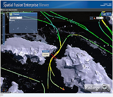
 CARIS is pleased to announce the release of Spatial Fusion Enterprise 5.7 web mapping technology for data sharing. The latest release provides enhanced usability and performance allowing users to easily discover and download data.
The latest release of Spatial Fusion Enterprise 5.7 now supports the following raster files: CSAR, BAG, 32-bit GeoTIFF, USGS DEM and ESRI ASCII. Used in conjunction with your Bathy DataBASE data, real-time views of your most up to date surveys can be viewed with minimal load time.
This release also introduces our catalogue service utilizing the Open Geospatial Consortium, Inc.® (OGC) Catalogue Service – Web (CSW) which enables searching of metadata records for data discovery.
The Points of Interest (POI) feature has been enhanced to improve the visual impact of your web maps by harnessing the power of social media by connecting to Flickr®, YouTube®, and Picasa®.
Other improvements include:
- Updates to INSPIRE services.
- Browser support for Google Chrome.
- Ability to authenticate users using LDAP.
- Enhancements to the Web Coverage Service.
Visit the Spatial Fusion Enterprise web page for more information.
Join our Mailing List
Subscribe to email announcementsOur Latest Tweets
Tweets by Teledyne CARIS Follow us on TwitterConnect With Us

