News
Nigerian Navy Hydrographic Office establishes new bathymetric capabilities with CARIS software
Fredericton, NB, Canada – The Nigerian Navy Hydrographic Office (NNHO) has selected Teledyne CARIS™ to provide solutions for both current and future national and international charting requirements. Equipped with CARIS™ Ping-to-Chart™ technology, the NNHO is establishing new capabilities for bathymetric analysis, and completion of hydrographic and other geospatial data. These tools will ensure an efficient workflow for the production of electronic charts and paper charts according to both the International Hydrographic Organization (IHO) and NNHO standards.
The first part of the project was completed in late 2018, with delivery of software and training at the NNHO office in Lagos. It will continue into 2019 with professional services from Teledyne CARIS to help ensure a successful launch of their new software infrastructure.
The NNHO is organized into three sections, the Hydrographic Office, Hydrographic School, and the Survey Fleet, and is responsible for acting as the sole National Authority on hydrographic, charting and tidal matters. The organization holds the responsibility of meeting Nigeria's commitment to hydrography and charting as a member state of the IHO. With the establishment of CARIS software solutions for survey processing, data analysis and chart production, the NNHO will be well positioned to address the critical importance of safe and efficient navigation.
About Teledyne CARIS
For over 35 years, Teledyne CARIS has been the leading developer of marine mapping software. We offer a highly effective solution for near real-time processing, robust quality control of sonar data, and the creation and distribution of maps, charts, and digital datasets. Teledyne CARIS is part of the Teledyne Imaging group.
For more information, visit teledynecaris.com
About Teledyne Imaging
Teledyne Imaging is a group of leading-edge technology companies aligned within the Teledyne brand. With unrivalled expertise across the electromagnetic spectrum and decades of experience, the group offers world-leading capabilities in sensing, signal generation and processing. The collective delivers innovative solutions to aerospace, defense, geospatial, machine and industrial vision, medical and life sciences, semiconductors and MEMs.
For more information, visit teledyneimaging.com
###
For more information, contact:
Kim Holland
Media Relations and Content Marketing Specialist
+1 (506) 458 8533
[email protected]
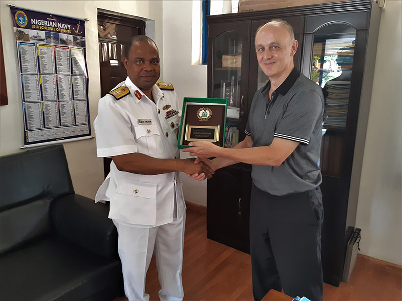
Commander Okafor of the Nigerian Navy Hydrographic Office with John Smart, Senior Geomatics Analyst-Teledyne CARIS
Join our Mailing List
Subscribe to email announcementsOur Latest Tweets
Tweets by Teledyne CARIS Follow us on TwitterConnect With Us
