News
Marine Technology Reporter’s 13th Annual Report on 100 innovative companies in the Subsea Sector
test
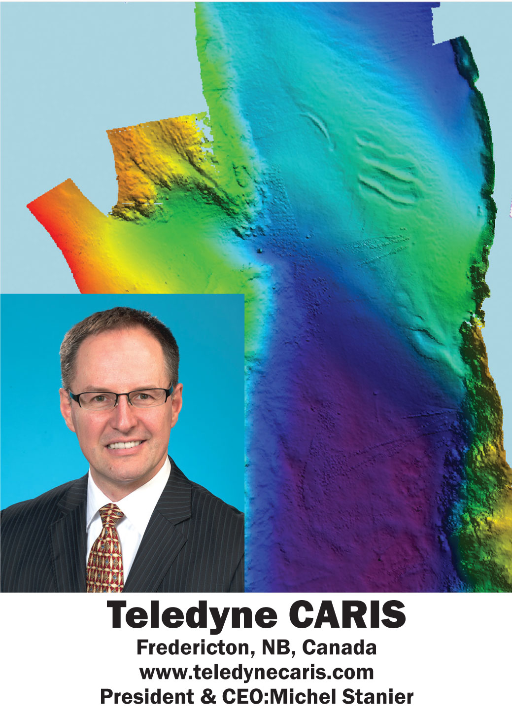
For more than 35 years, Teledyne CARIS has designed software for the marine GIS community. Developed in cooperation with hydrographic clients and universities, the CARIS toolset provides clients with resource optimization and a true operational advantage. Known for its Ping-to-Chart solution, CARIS’ comprehensive portfolio of products, from the processing of the echo-sounder ping, to the production and distribution of the chart have enable the charting of hundreds of thousands of nautical miles of ocean and waterways around the globe. The newest product in the toolset, CARIS Onboard, is a near real-time and autonomous data processing package which has been developed with autonomous underwater vehicles (AUVs) and unmanned surface vehicles (USVs) in mind. This solution acts as a force multiplier when used on survey vessels by fitting seamlessly into the Ping-to- Chart suite of software, and reducing the overall product creation timeline. Not only renowned for its product, but also for outstanding customer service, Teledyne CARIS offers a comprehensive level of support through training sessions and consulting, online technical support, email and multilingual telephone support.
Join our Mailing List
Subscribe to email announcementsOur Latest Tweets
Tweets by Teledyne CARIS Follow us on TwitterConnect With Us
