News
CARIS LOTS for Thailand
 Thailand recently became the latest coastal nation to select CARIS LOTS for the delineation of their maritime limits and boundaries. Thailand is now one of more than sixty countries, including a large number in the South East Asia region, which have selected the specialized geodetic toolkit to determine their marine borders and extents.
The Hydrographic Department, Royal Thai Navy (HDRTN) will use the LOTS software in the calculation of their territorial sea (12 miles) and delineation of maritime boundaries with neighboring countries. The LOTS software was supplied to HDRTN through cooperation with local Thailand company, Global Information Co., Ltd.
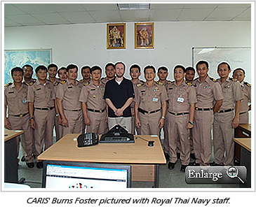
CARIS' Burns Foster visited HDRTN in July to deliver the specialized training for their marine spatial planning requirements.
Join our Mailing List
Subscribe to email announcementsOur Latest Tweets
Tweets by Teledyne CARIS Follow us on TwitterConnect With Us

