News
Shanghai MSA expands use of CARIS enterprise solutions
 Shanghai Maritime Safety Administration of the People's Republic of China (Shanghai MSA) is responsible for the hydrographic surveying and mapping of the coastal areas of East China. To safeguard navigation and improve the efficiency of maritime traffic in harbours and channels, Shanghai MSA is continuously enhancing their surveying and charting infrastructure. This included the implementation of CARIS' enterprise GIS solution, CARIS HPD in 2008 to improve marine spatial data management, as well as ENC and paper chart production capabilities.
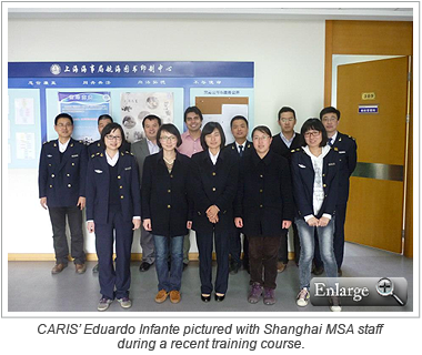
Recently Shanghai MSA has selected the Publications Module for their HPD environment. The addition of this module will allow Shanghai MSA to produce Notices to Mariners (NtMs) and list publications from the database system, and further reduce duplication of effort in the provision of nautical products to mariners. As part of the implementation, Shanghai MSA will receive consultancy and training from CARIS to assist with the initial objective of producing List of Lights/List of Buoys publications from the new system.
To further expand their spatial data management capabilities, Shanghai MSA also recently implemented CARIS Bathy DataBASE to store elevation data sets from their many maritime survey projects in the coastal and harbour areas. The Bathy DataBASE implementation will allow Shanghai MSA to integrate various data sets, which range from historical lead line observations through to high volume multibeam survey results, in an enterprise database. It will also be used to streamline the compilation of bathymetry and derived features (e.g. contours), improve the transfer of bathymetric features to HPD, and enhance their overall Ping-to-Chart workflow.
Join our Mailing List
Subscribe to email announcementsOur Latest Tweets
Tweets by Teledyne CARIS Follow us on TwitterConnect With Us

